Log in
All resources
Create a design
42,491 Free Images of 1900 Maps
united states geological survey maps
topographic maps of new york (state)
maps of the adirondack mountains
maps in the library of congress
old maps of new york (state)
o. h. bailey
old maps of connecticut
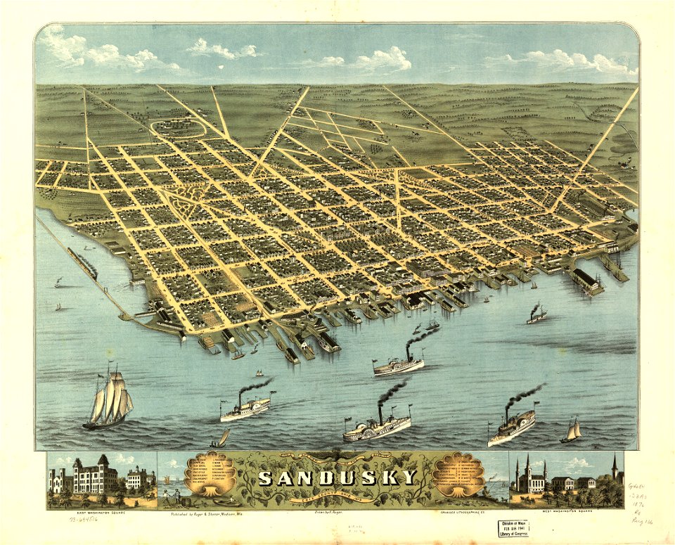
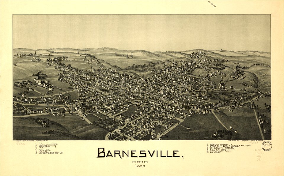
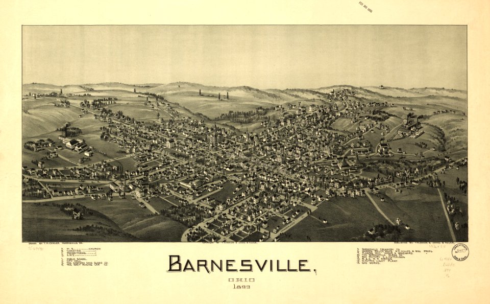
ohio
bird's eye view maps of ohio
albert ruger
20th-century portrait paintings of sitting women
portrait paintings by anders zorn
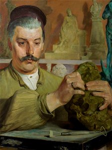
portrait paintings of sculptors
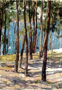
1900 portrait paintings
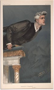
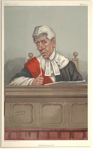
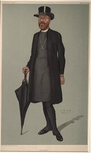
caricatures by leslie ward in vanity fair
vanity fair caricatures (clergy)
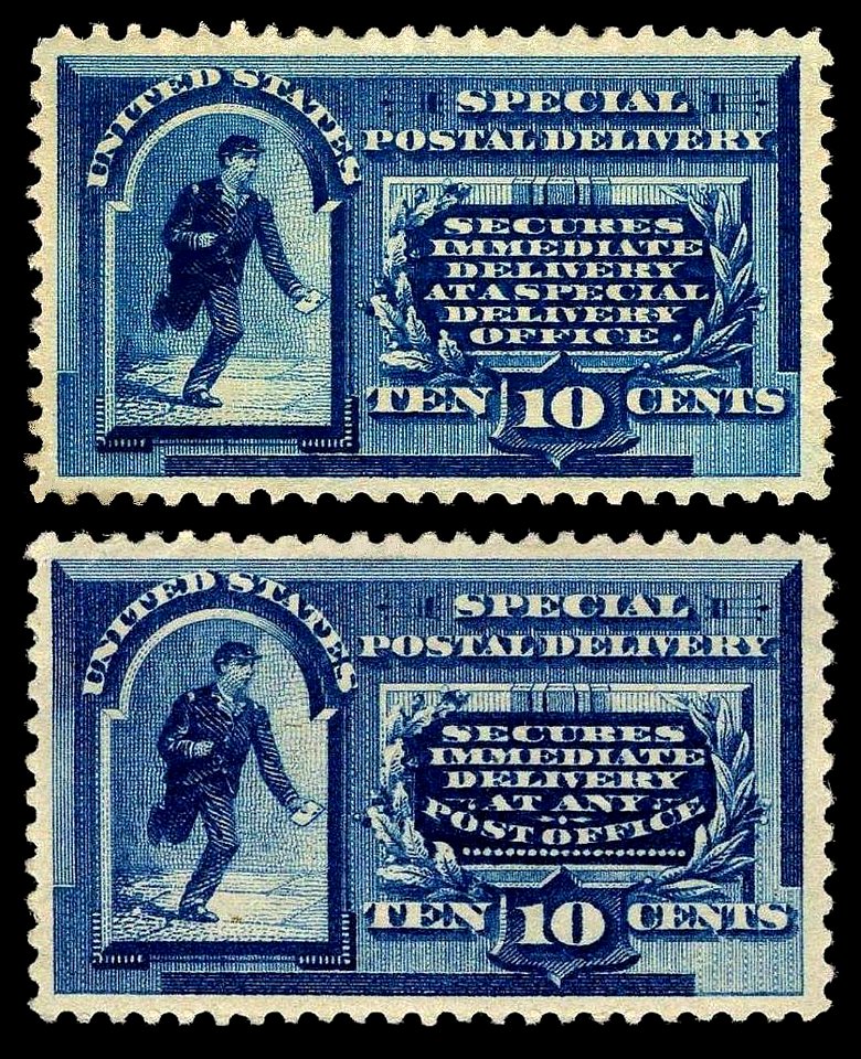
stamps of the united states 1891-1900
blue stamps
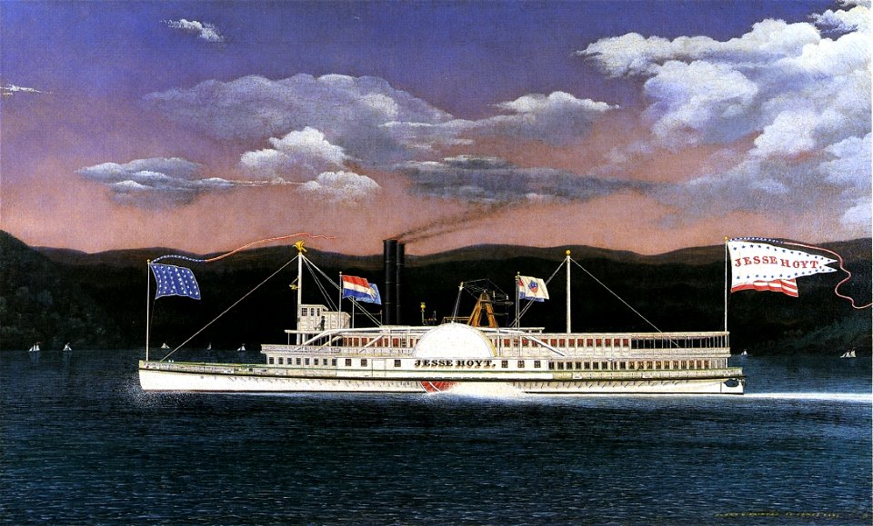
steamboats of the hudson river
1860s paintings by james bard
post-impressionist paintings
planty
1900 oil on canvas paintings
paintings of pine trees
list of vanity fair (british magazine) caricatures (1900–1904)
caricatures by leslie ward in vanity fair
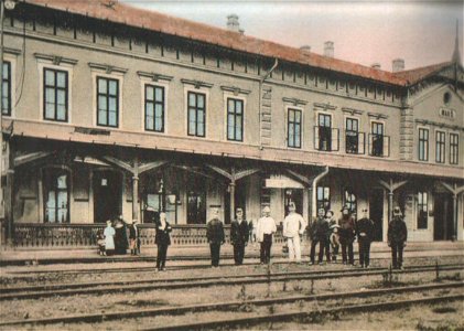
postcards of train stations in hungary
colored postcards of hungary
caricatures by leslie ward in vanity fair
vanity fair caricatures (clergy)
19th-century portraits of men at half length
19th-century self-portrait paintings of men
paintings in the museo nacional de bellas artes (chile)
1900 paintings
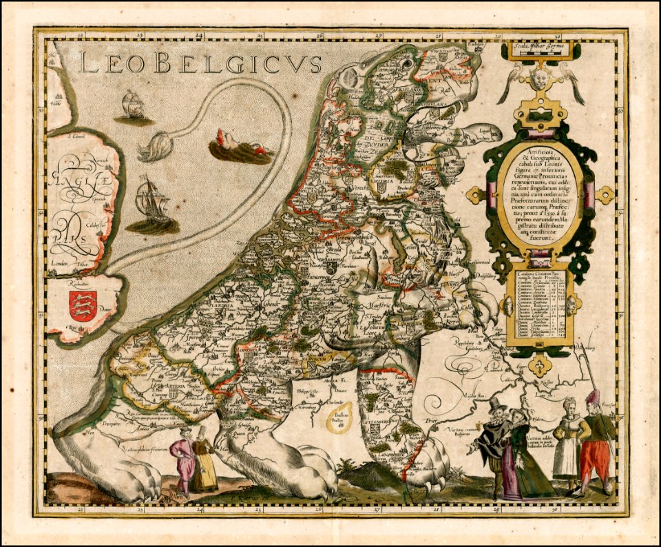
old maps of mexico
pictorial maps
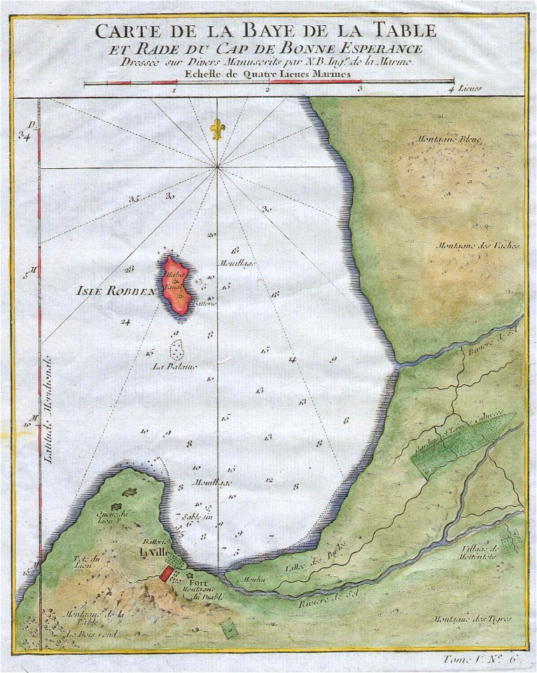
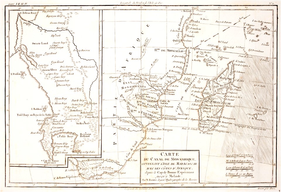
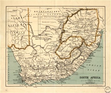
old maps of south africa
table bay
prints from bonne atlas de toutes les parties at the peace palace library
maps of the comoros
koninklijk nederlands aardrijkskundig genootschap
map collection frederik muller & co
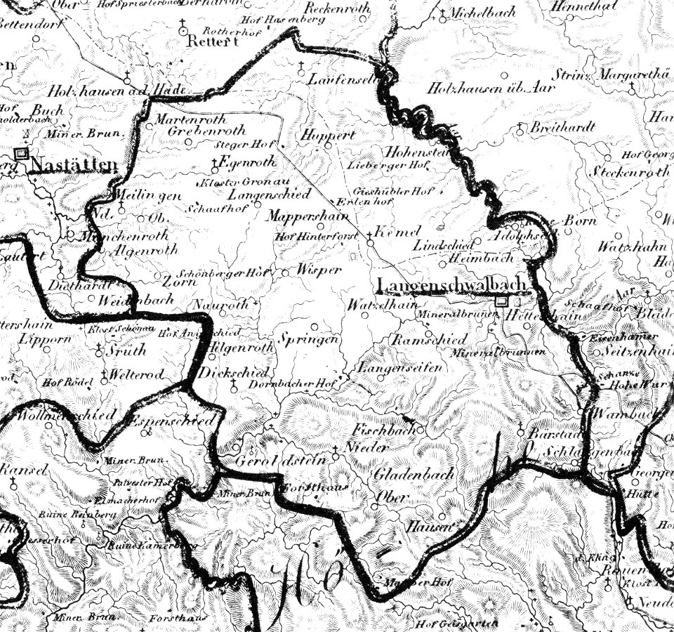
history of bad schwalbach
1828
koninklijk nederlands aardrijkskundig genootschap
map collection frederik muller & co
koninklijk nederlands aardrijkskundig genootschap
map collection frederik muller & co
koninklijk nederlands aardrijkskundig genootschap
map collection frederik muller & co
harvard university
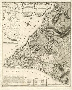
map of manhattan
details of 1830 vienna map series by carl graf vasquez
palais rasumofsky
coats of arms on maps
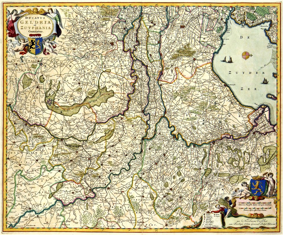
guelder
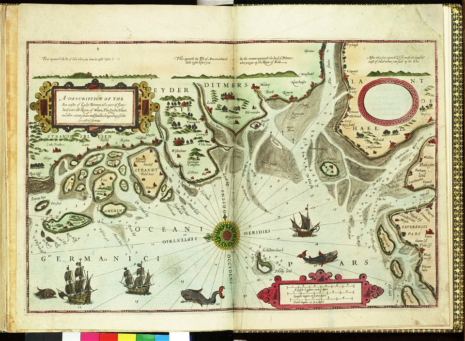
german bight
1588 maps
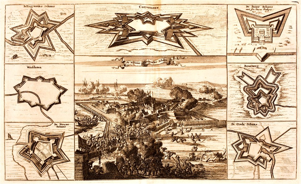
bad nieuweschans
coevorden
maps by samuel de champlain
old maps of new france
maps in the library of congress
ohio
maps in the library of congress
ohio
collections de la bibliothèque nationale et universitaire de strasbourg
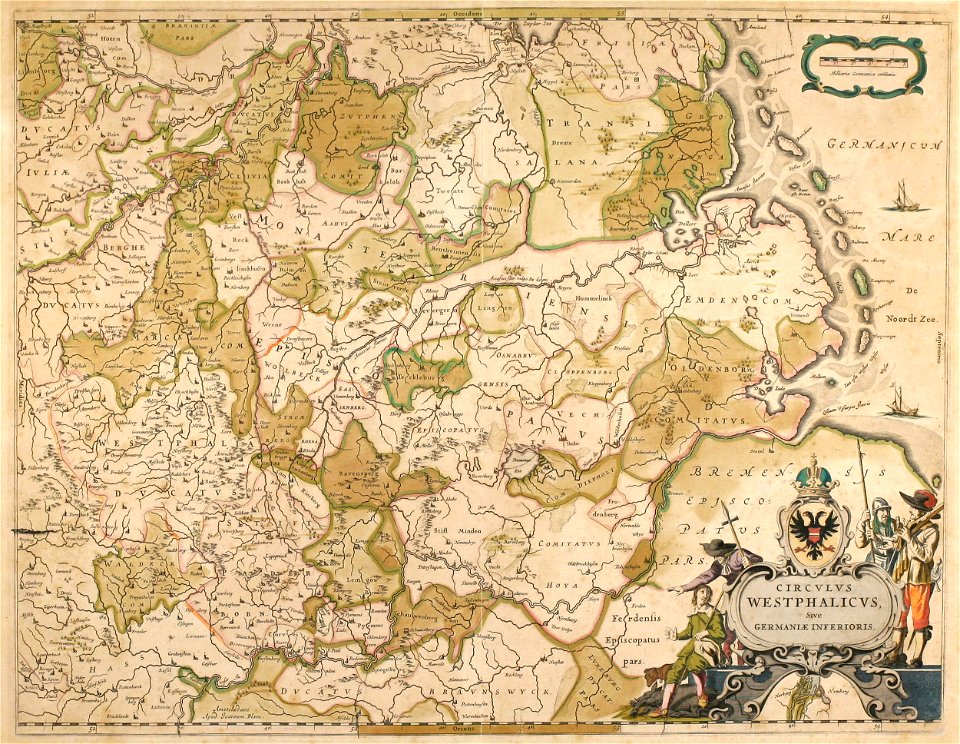
german-language maps
old maps of north rhine-westphalia
maps by willem and johannes blaeu
english-language maps
1776 maps
wisconsin
watertown
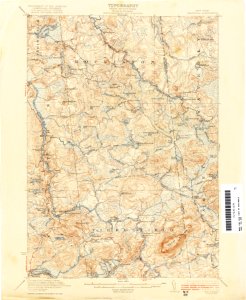
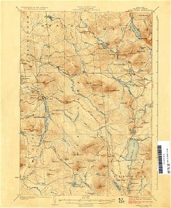
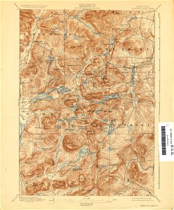
united states geological survey maps
old maps of new york (state)
united states geological survey maps
old maps of new york (state)
united states geological survey maps
old maps of new york (state)
united states geological survey maps
old maps of new york (state)
maps in the library of congress
old maps of south africa
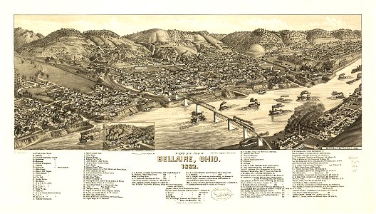
bellaire
ohio
bellaire
ohio
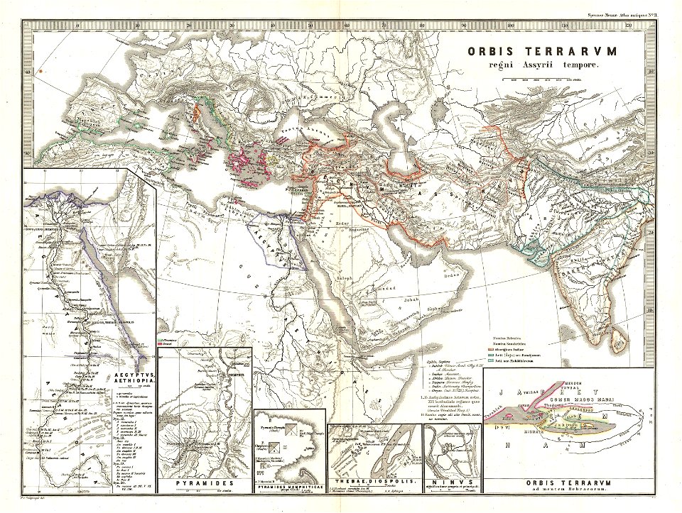
karl spruner von merz
1865 maps of europe
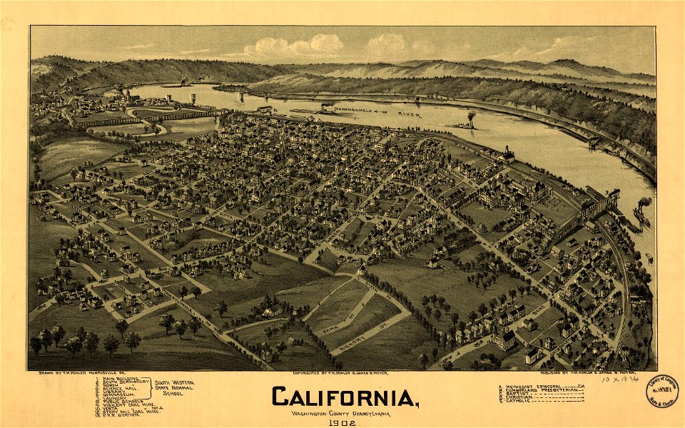
pennsylvania
california
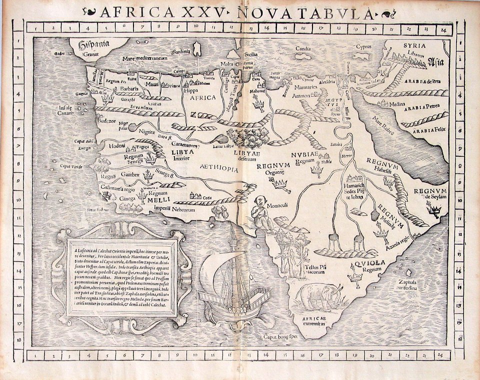
illustrations of cosmographia (münster)
1550s maps of africa
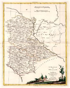
19th-century maps of the caucasus
1865 maps
maps in the library of congress
ohio
pieter van der keere
ships on maps
maps in the library of congress
ohio
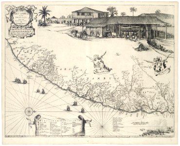
old maps of pernambuco
cornelis goliath
united states geological survey maps
old maps of new york (state)
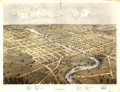
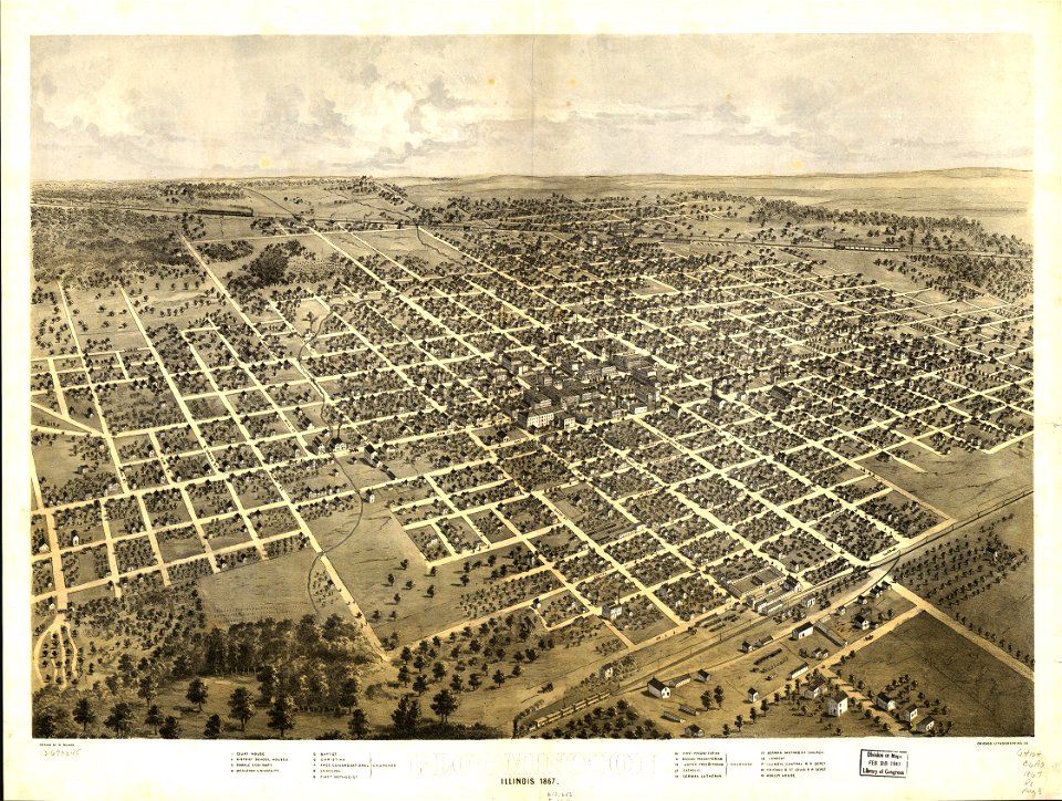
maps in the library of congress
illinois
maps in the library of congress
illinois
fonds ancely - bibliothèque municipale de toulouse - maps
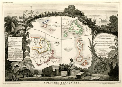
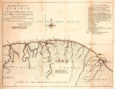
old maps of guyana
united states geological survey maps
old maps of new york (state)
united states geological survey maps
old maps of new york (state)
united states geological survey maps
old maps of new york (state)
united states geological survey maps
old maps of new york (state)
united states geological survey maps
old maps of new york (state)
giovanni marco pitteri
italian-language maps
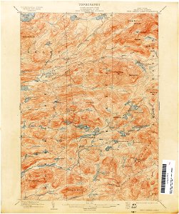
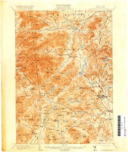
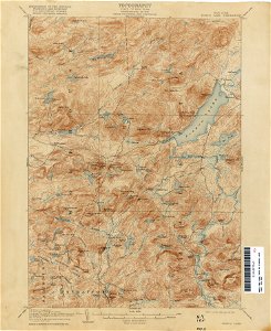
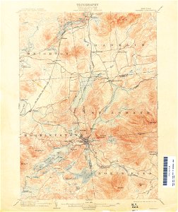
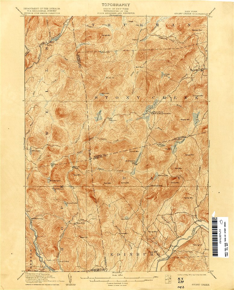
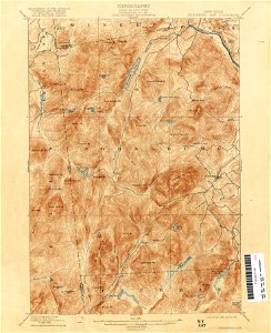
united states geological survey maps
topographic maps of new york (state)
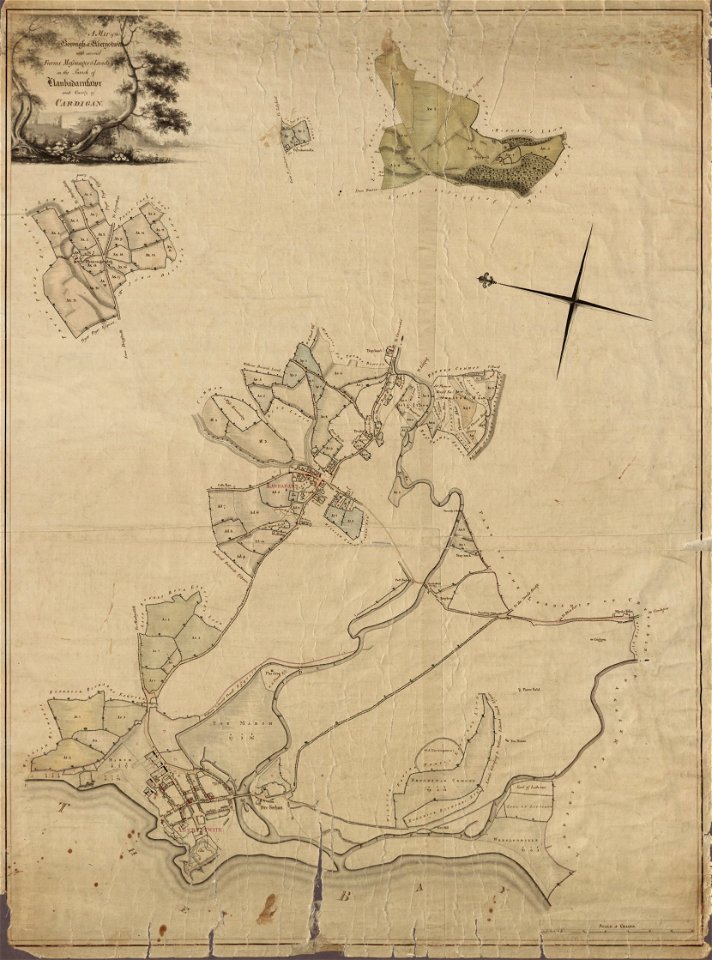
llanbadarn fawr
ceredigion
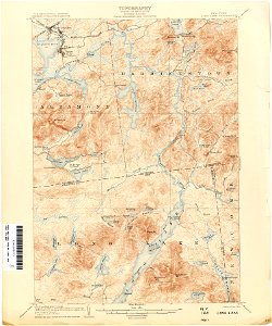
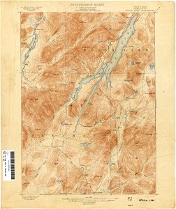
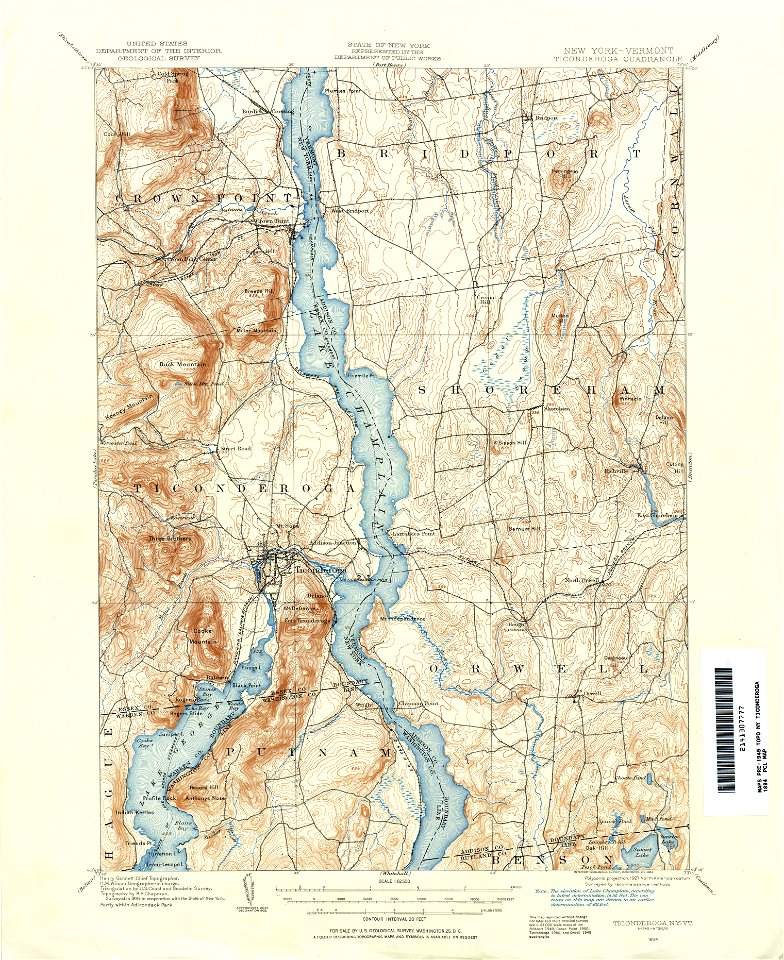
united states geological survey maps
topographic maps of new york (state)
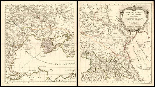
18th-century maps of the black sea
charles françois delamarche
maps in the library of congress
old maps of massachusetts
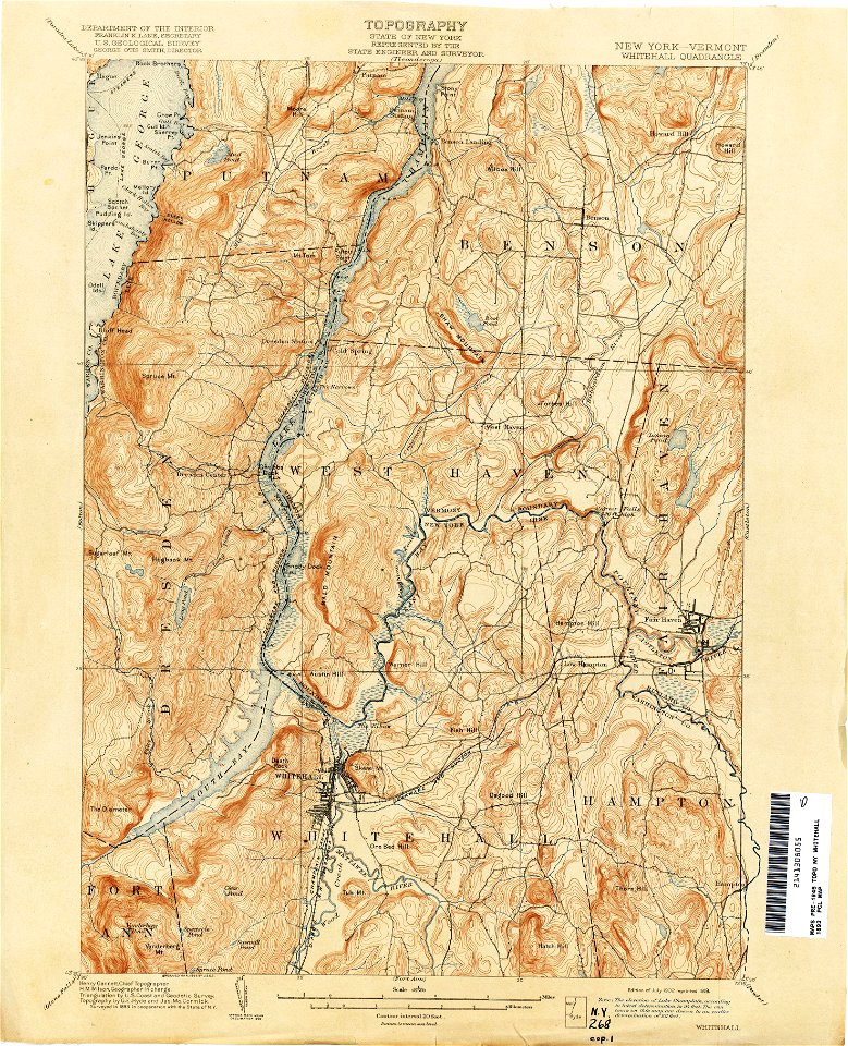
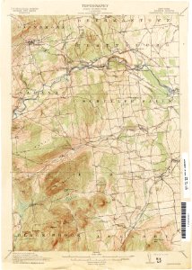
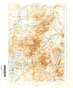
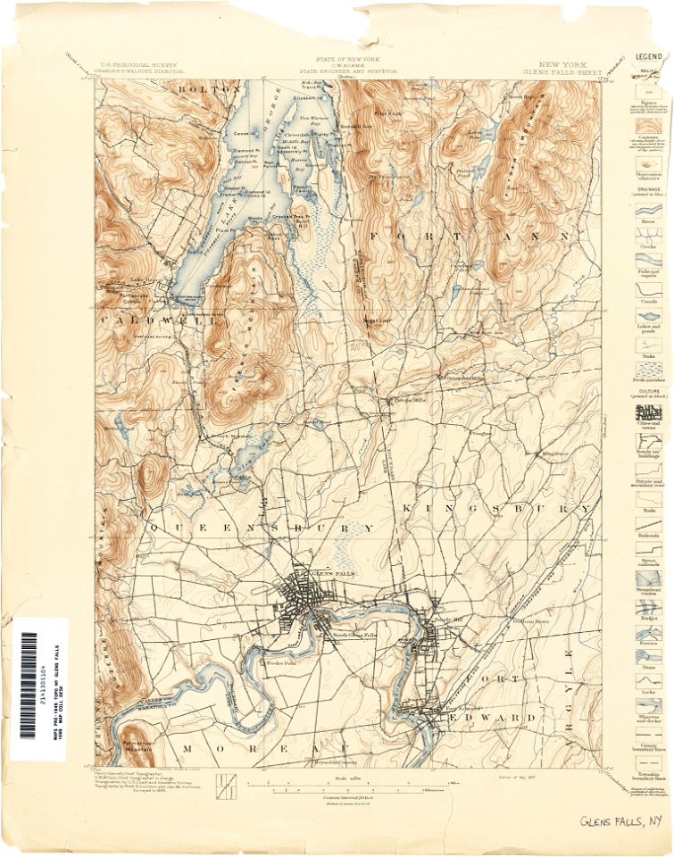
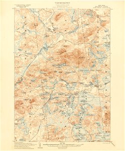
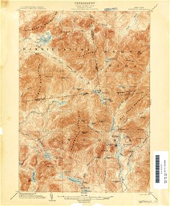
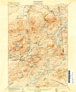
united states geological survey maps
topographic maps of new york (state)
maps in the library of congress
old maps of massachusetts
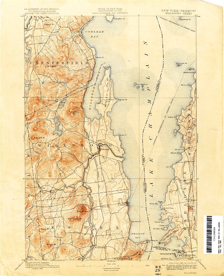
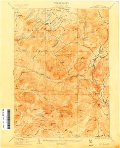
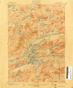
united states geological survey maps
topographic maps of new york (state)
united states geological survey maps
old maps of new york (state)
united states geological survey maps
old maps of new york (state)
united states geological survey maps
topographic maps of new york (state)
maps in the library of congress
1861 maps of south carolina
united states geological survey maps
old maps of new york (state)
united states geological survey maps
old maps of new york (state)
united states geological survey maps
old maps of new york (state)
united states geological survey maps
old maps of new york (state)
united states geological survey maps
old maps of new york (state)
united states geological survey maps
old maps of new york (state)
united states geological survey maps
old maps of new york (state)
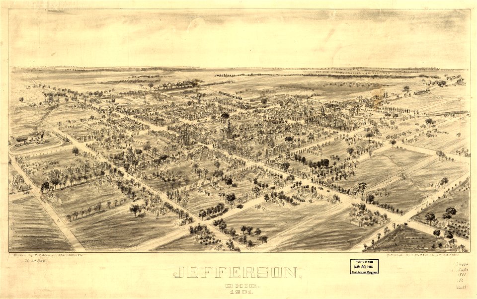
jefferson
ohio
jefferson
ohio
united states geological survey maps
old maps of new york (state)
maps in the library of congress
old maps of south africa
united states geological survey maps
old maps of new york (state)
united states geological survey maps
old maps of new york (state)
united states geological survey maps
old maps of new york (state)
old maps of suriname
old maps of guyana
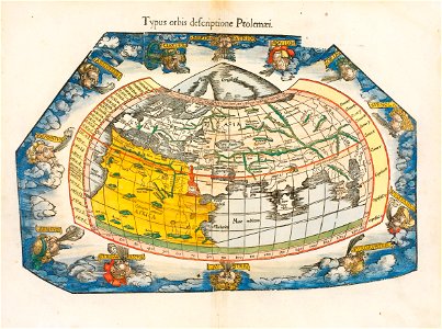
ptolemaic world maps
latin-language maps
united states geological survey maps
old maps of new york (state)
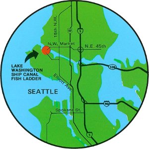
fish ladders in the united states
1996 maps
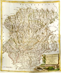
old maps of the province of bergamo
maps by antonio zatta
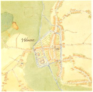
old maps of cities in the netherlands
maps by jacob van deventer
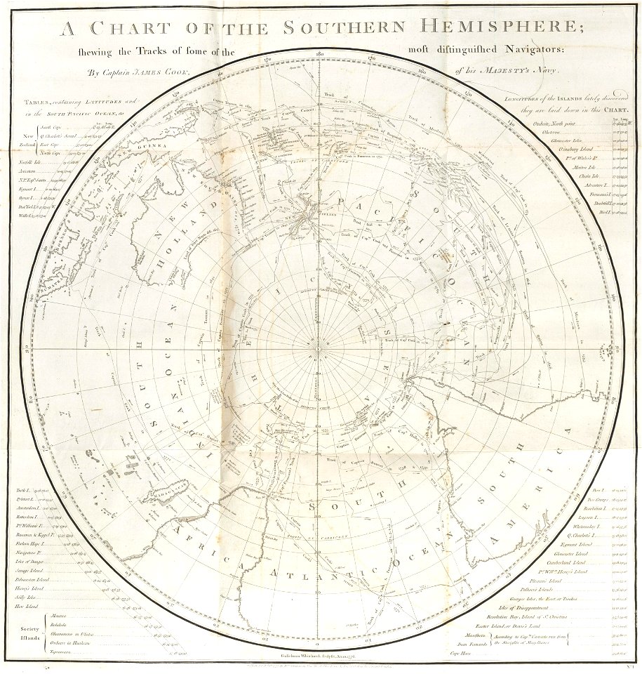
charts and maps of the royal museums greenwich
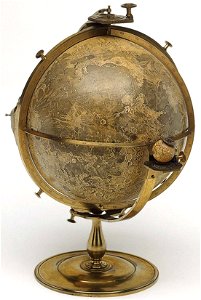
old maps of the moon
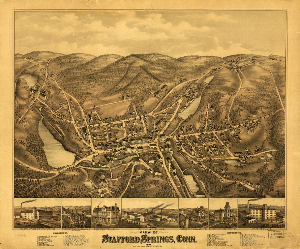
old maps of connecticut
o. h. bailey
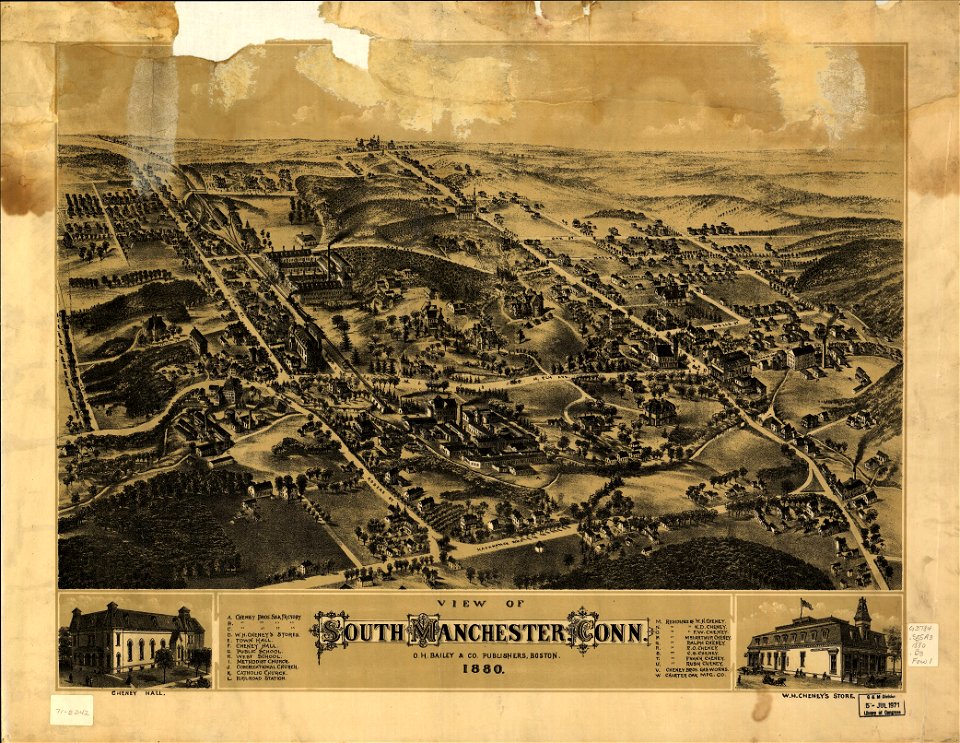
old maps of connecticut
o. h. bailey
o. h. bailey
1880 maps
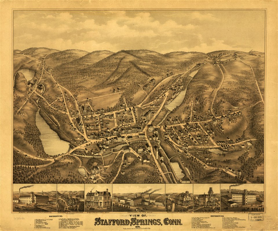
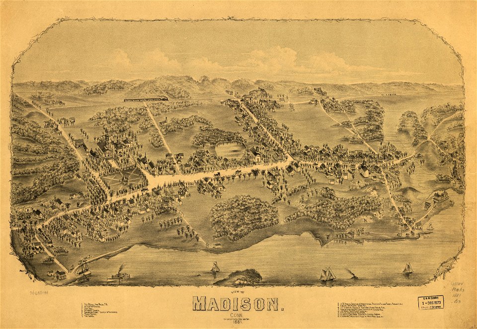
old maps of connecticut
o. h. bailey
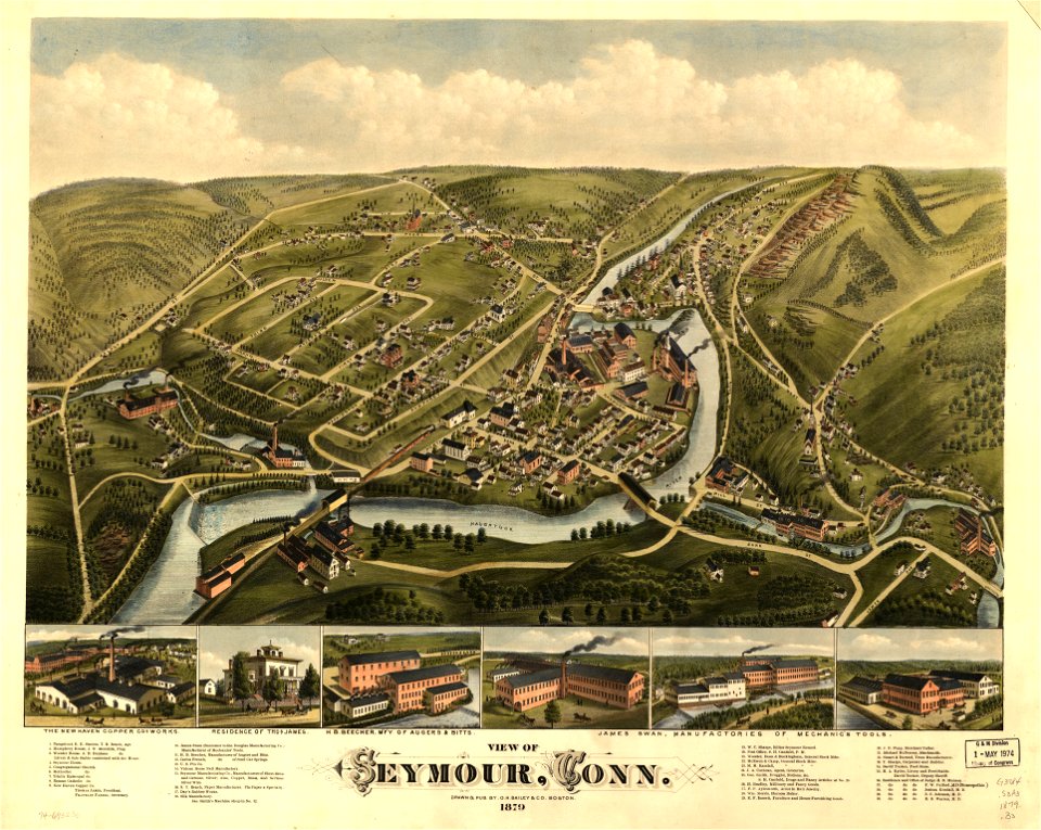
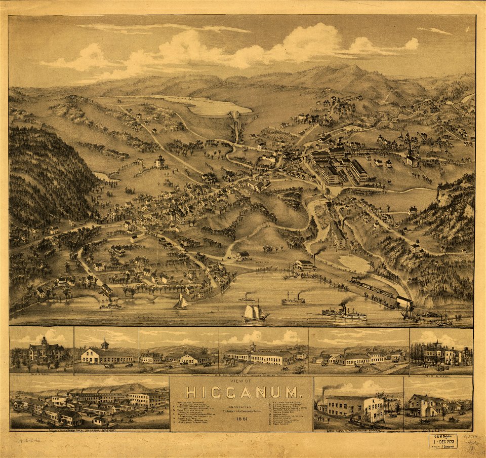
old maps of connecticut
o. h. bailey
old maps of connecticut
o. h. bailey
old maps of connecticut
o. h. bailey
old maps of connecticut
o. h. bailey
old maps of connecticut
o. h. bailey
old maps of connecticut
o. h. bailey
4501 - 4600 of 42,491
Next page
/ 425